The Geological Fieldwork and Summer Training Course for the fourth-year students of the Department of Geology
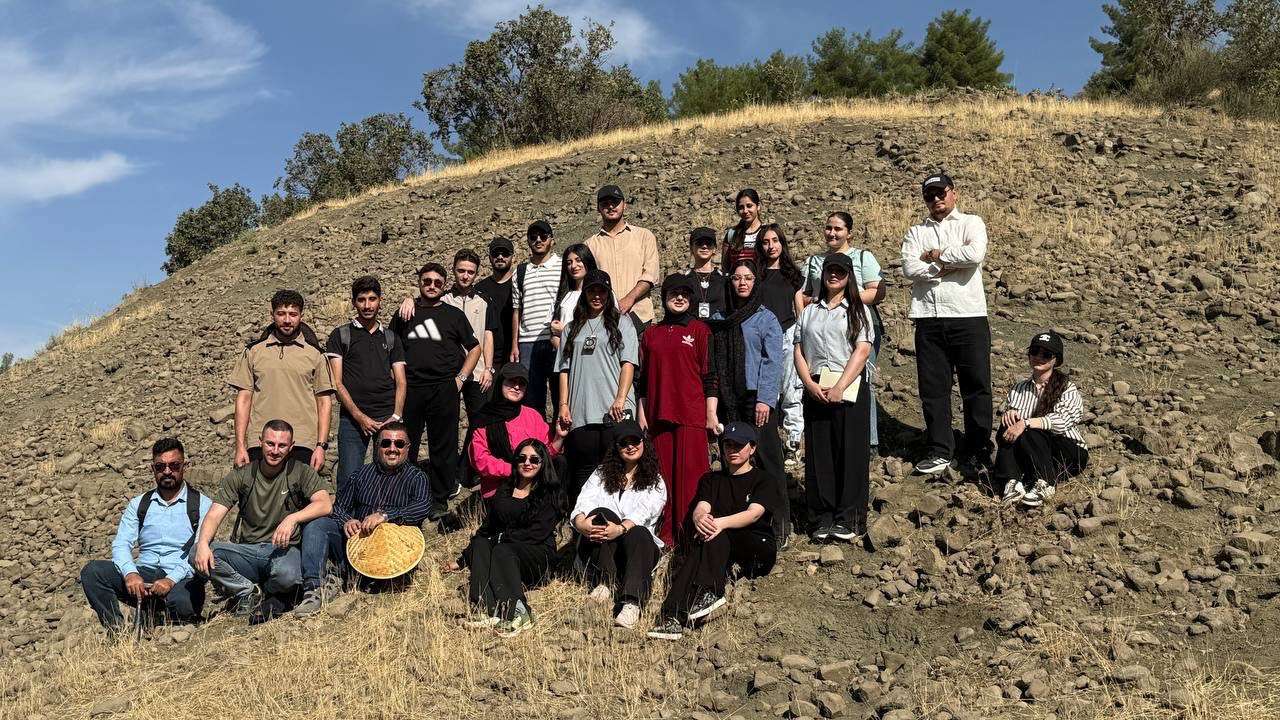
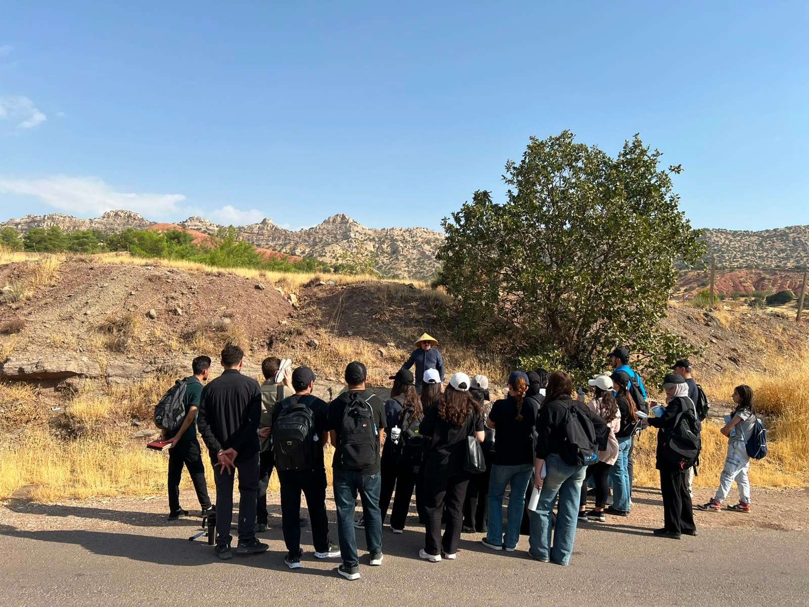
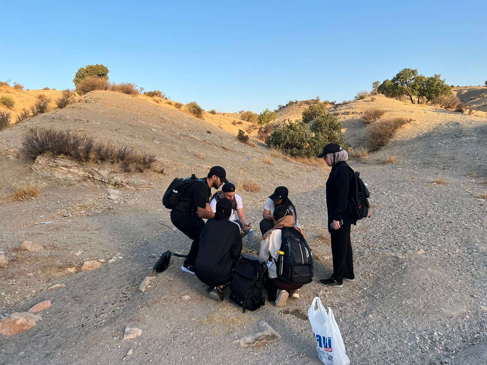
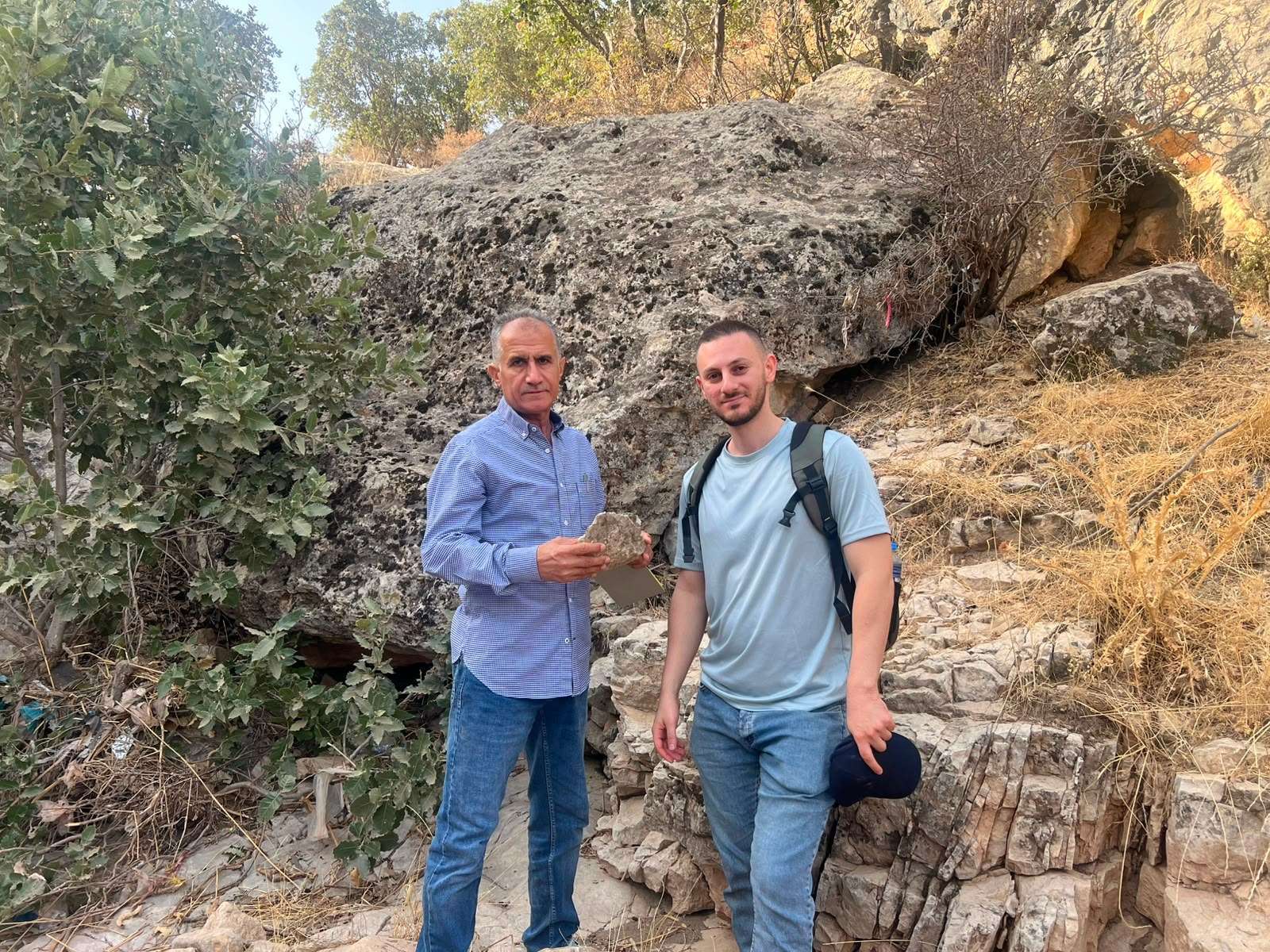
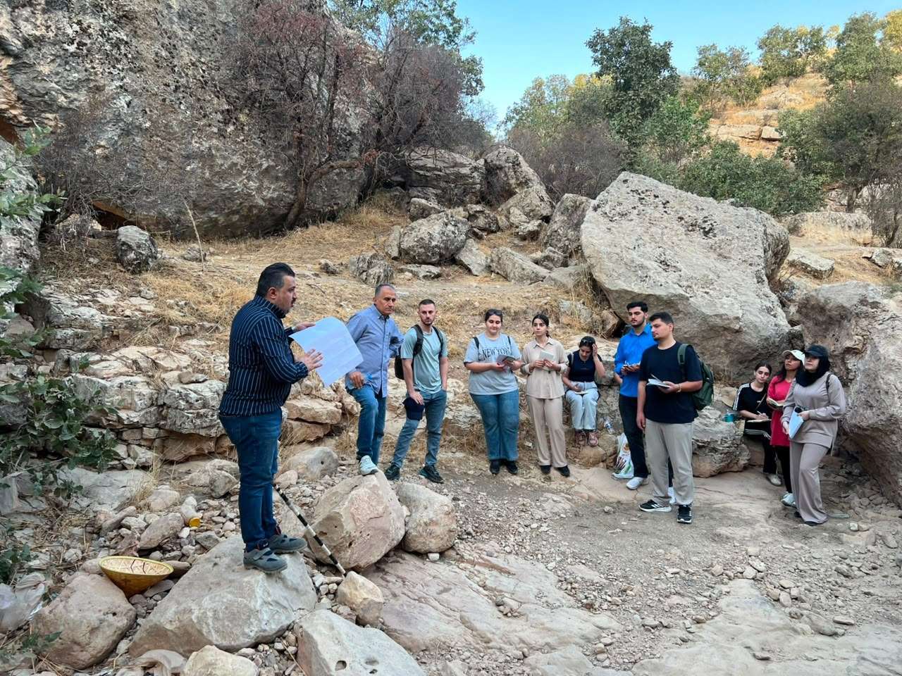
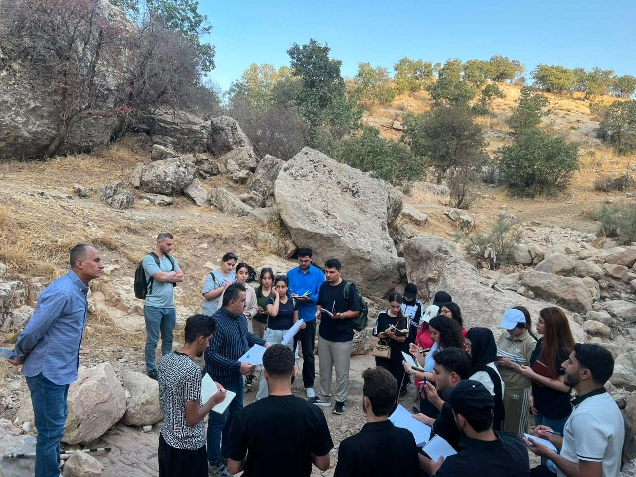
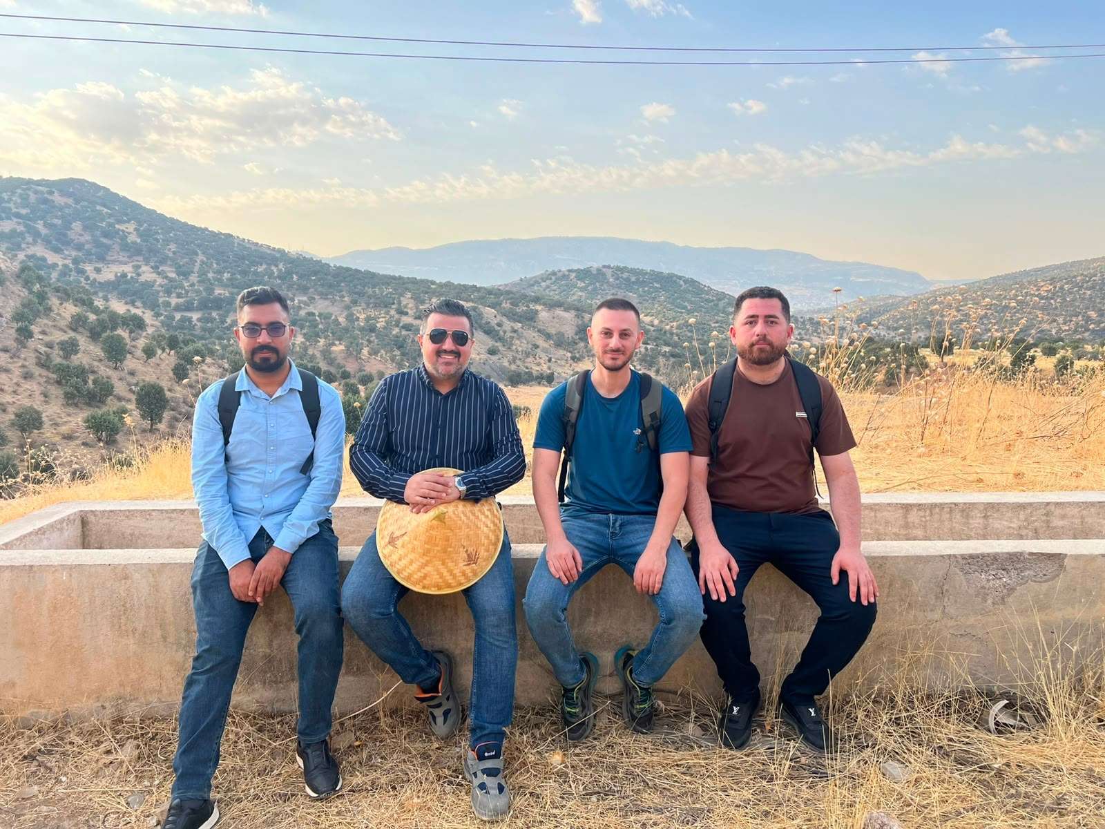
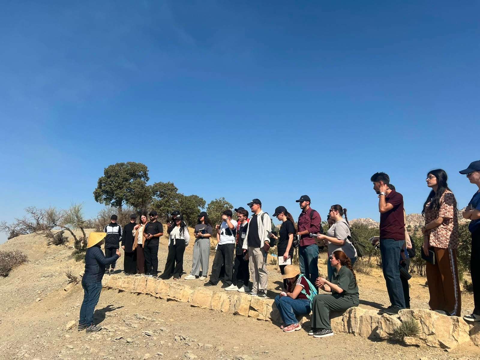
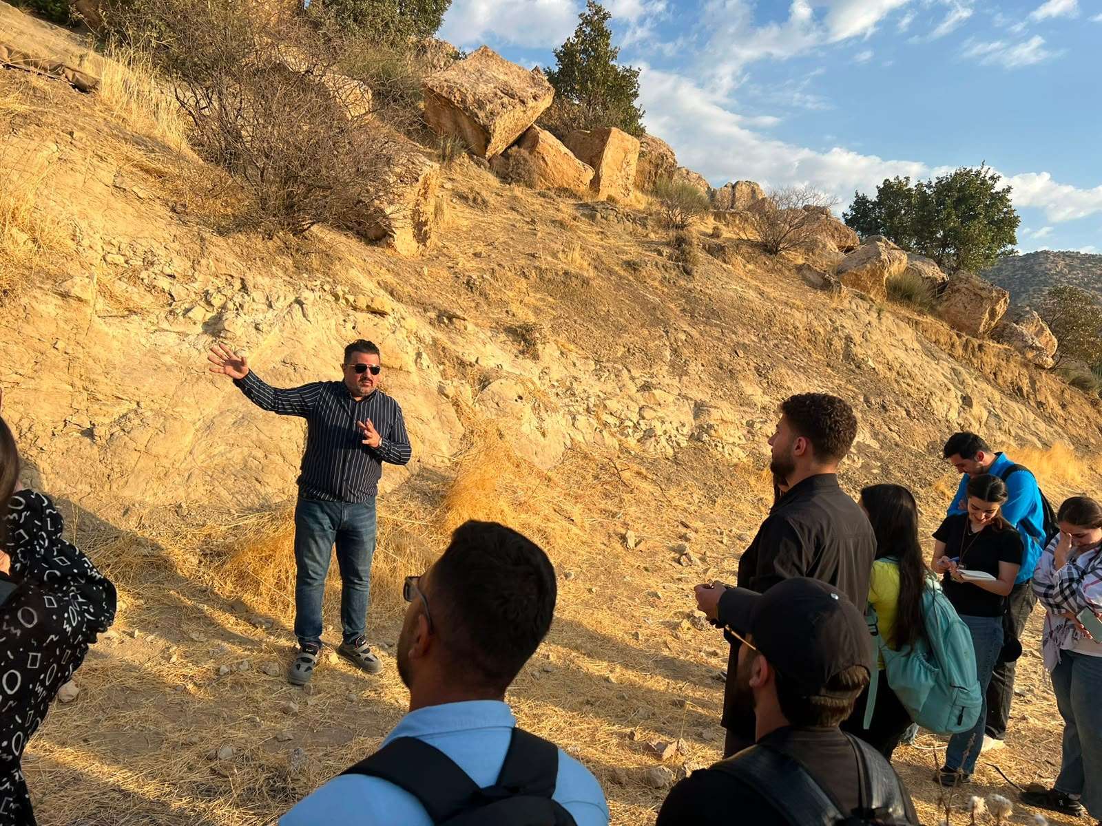
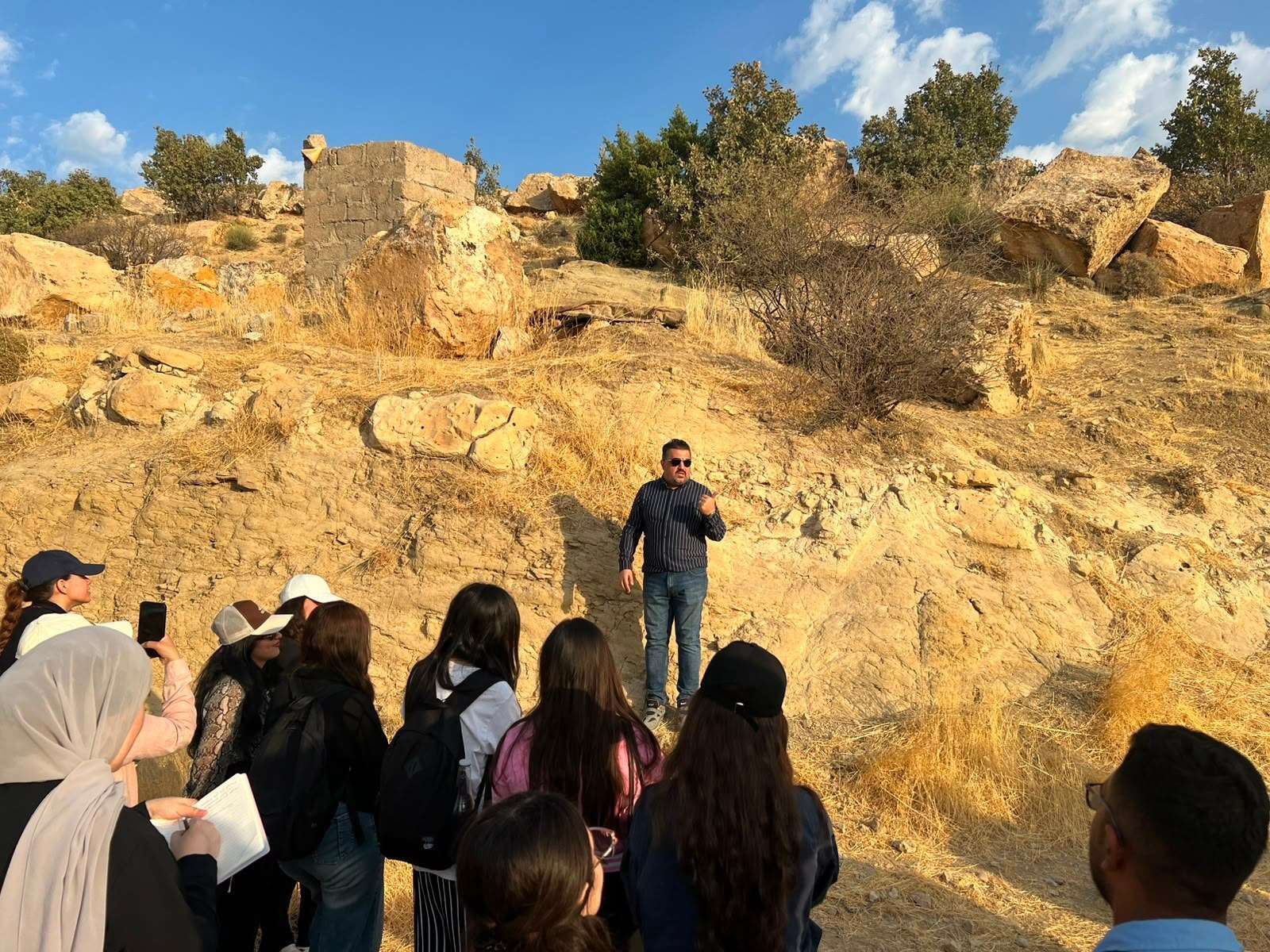
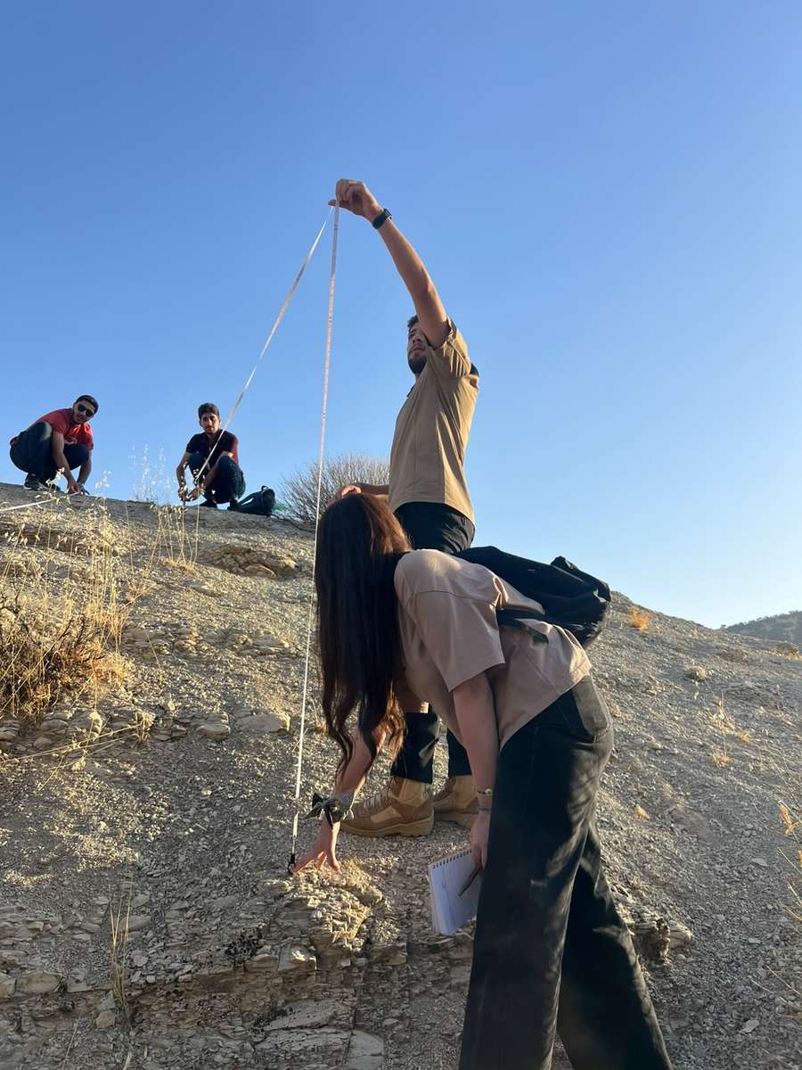
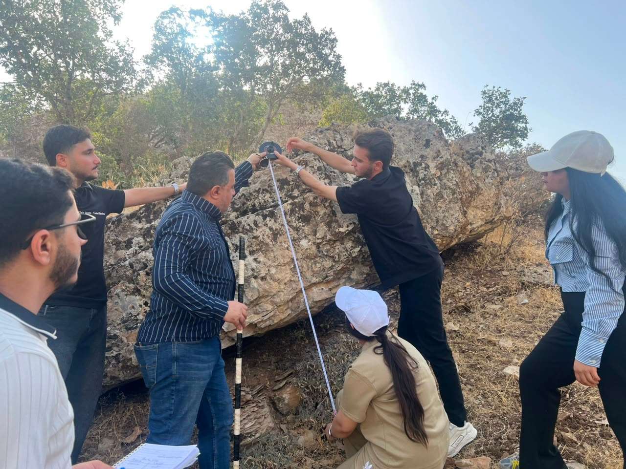
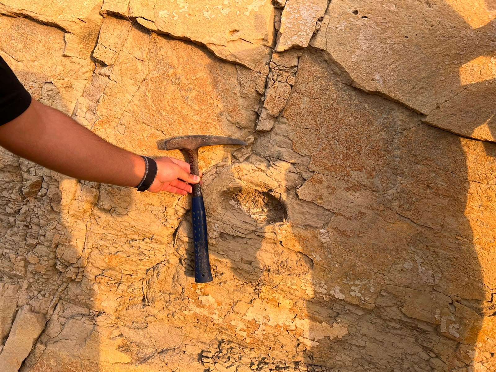
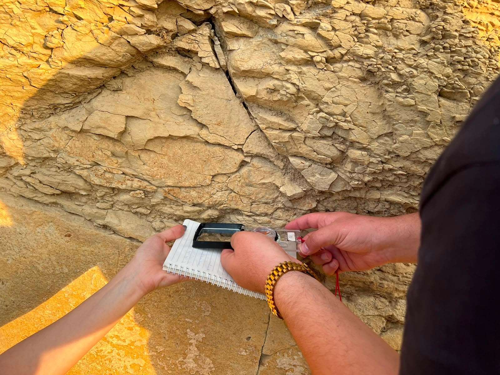
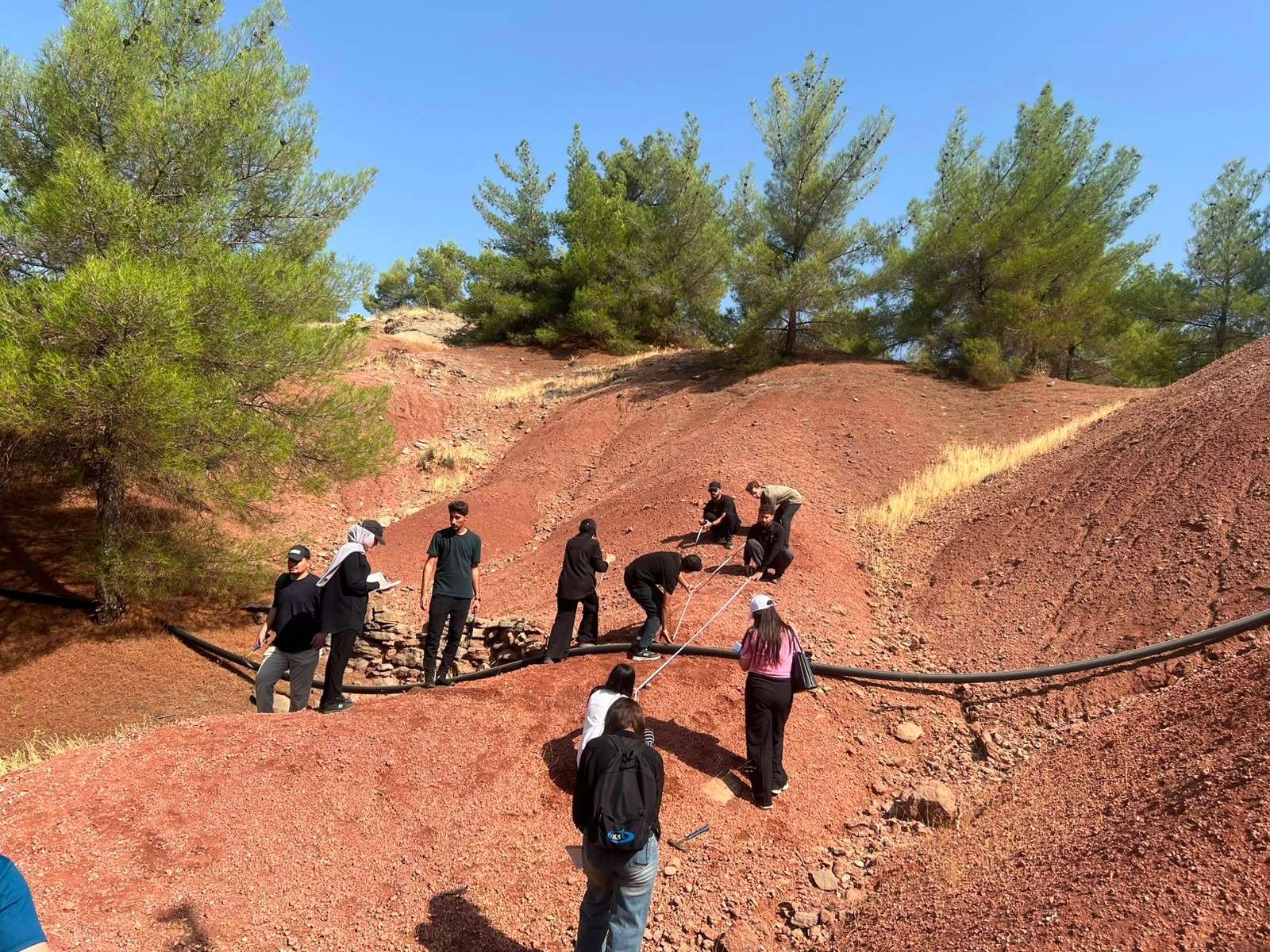
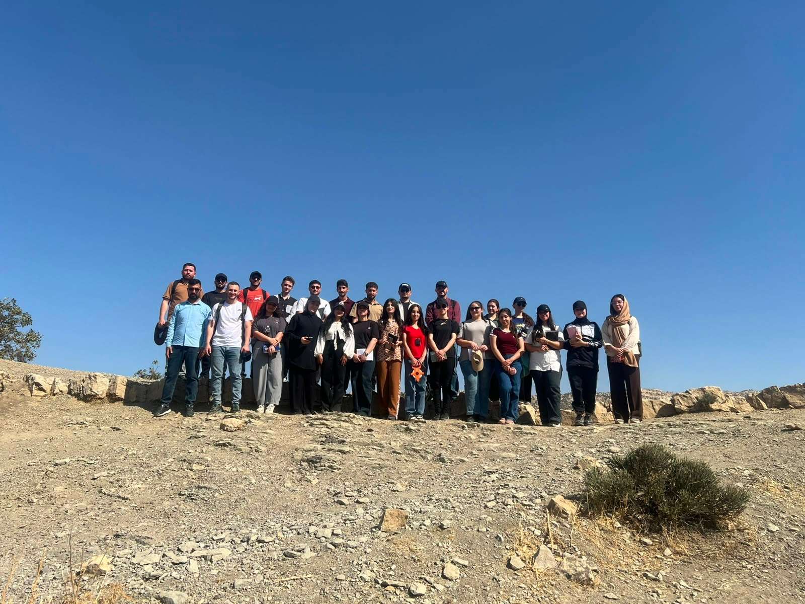
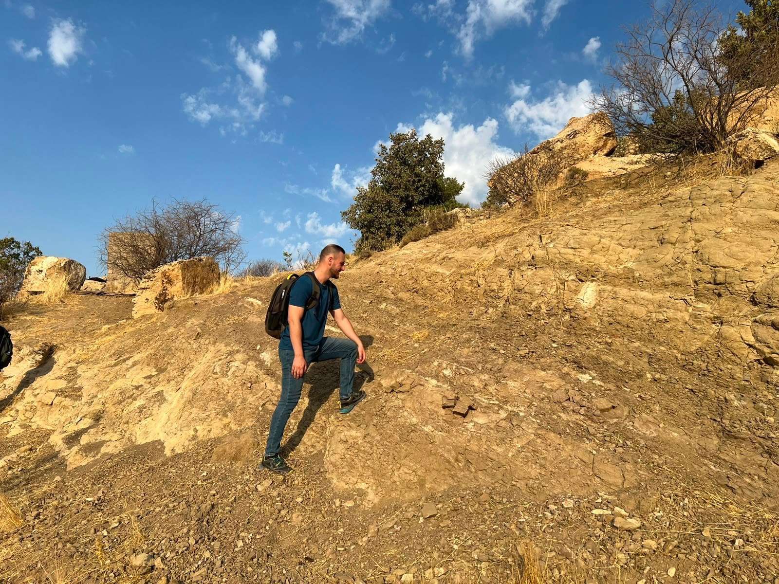
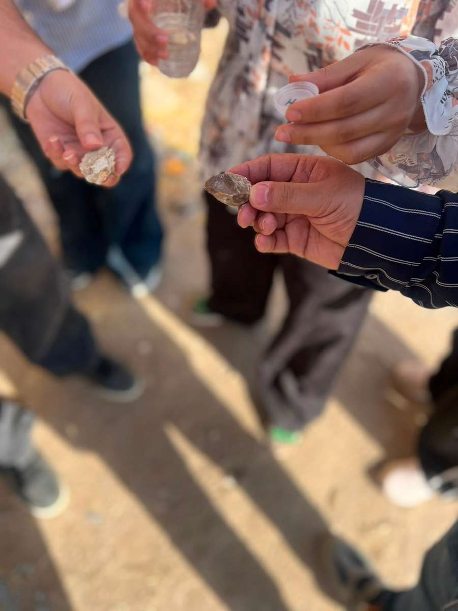
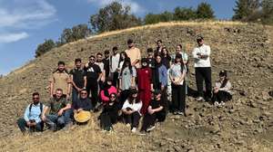
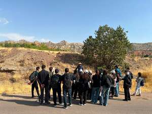
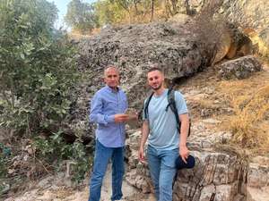
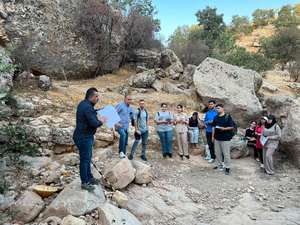
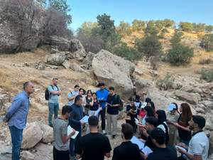
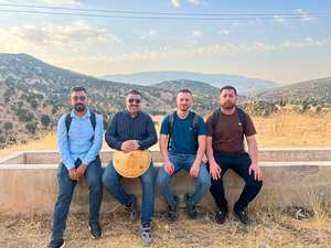
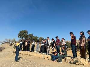
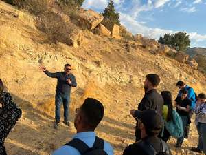
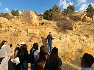
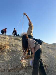
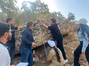
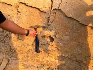
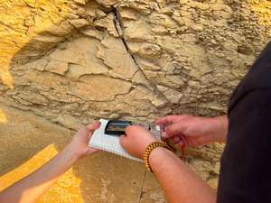
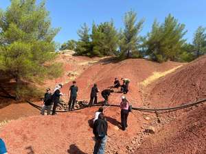
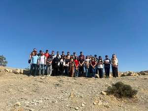
The Geological Fieldwork and Summer Training Course for the fourth-year students of the Department of Geology, College of Science, University of Duhok, for the academic year 2025–2026, was successfully completed during the period 14 September–29 September 2026.
The fieldwork was conducted under the patronage of the Dean of the College of Science, Dr. Mohammed Aziz, and the Head of the Department of Geology, Dr. Zahid Omar Mustafa, and was supervised by members of the department: Dr. Abdulrahman Bamerni, Mr. Ziad Daniel Zia, Mr. Hariwan Rashid Sulaiman, and Mr. Ramzi Anwar Hussein.
This year's geological fieldwork and summer training course consisted of three main components:
Part One Theoretical Lectures:
The first part consisted of five days of theoretical lectures covering the fundamental concepts and practical aspects required for the subsequent fieldwork.
Part Two – Geological Field Survey:
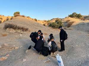
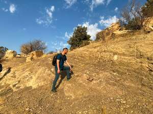
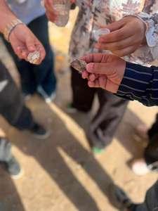
The second part involved detailed geological field surveying of the exposed rock formations within the Bekhair Anticline in the Duhok area, particularly around Bade Village, Geli Duhok, and Geli Besare. During this stage, students were introduced to the lithological characteristics and field relationships of the exposed formations, including the Bekhme, Shiranish, Aaliji, Kolosh, Sinjar, Gercus, Avanah, Pila Spi, Euphrates, Dhiban, Jeribe, and Fatha formations.
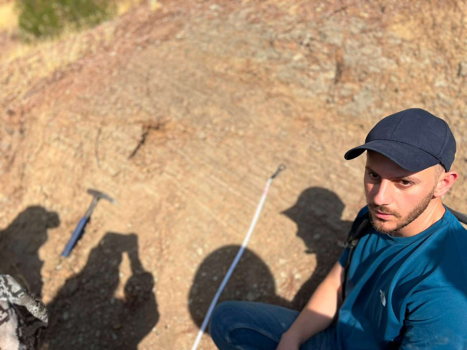
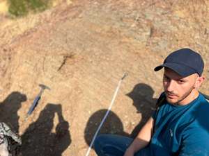
Students also received practical training in orienting topographic maps in the field and determining their position using geological and geomorphological features, as well as GPS coordinates. They were trained in the use of the geological compass to measure structural features, particularly the strike and dip of rock beds, and to identify and classify joints and fractures and determine the orientations of tectonic stresses.
An important component of the fieldwork was also the economic geological evaluation of the exposed rock formations, with particular emphasis on their potential roles in the generation, storage, and trapping of hydrocarbons within the region.
Part Three – Geological Mapping and Reporting:
The third part focused on the preparation of a geological map of the studied area, the construction of a detailed stratigraphic column showing the exposed formations, and practical training in the preparation and organization of the final geological field report.