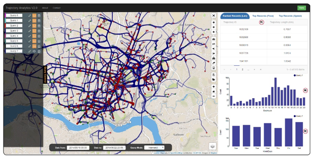
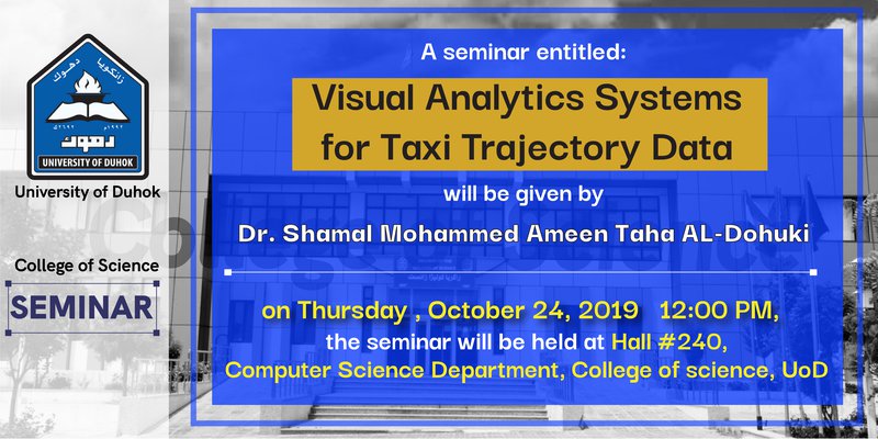
Visual Analytics Systems for Taxi Trajectory Data
Advanced sensing technologies and computing infrastructures have produced a variety of trajectory data of moving objects in urban spaces. One type of this data is taxi trajectory data. It records real-time moving paths sampled as a series of positions associated with vehicle attributes over urban road networks. Such data is big, spatial, temporal, unstructured and it contains abundant knowledge about a city and its citizens. Exploratory visualization systems are needed to study taxi trajectories with efficient user interaction and instant visual feedback. The extracted information can be utilized in many important and practical applications to optimize urban planning, improve human life quality and environment.